|Coolant Team
Unlocking Southern Pine: Coolant's spatial AI models outperform airborne LiDAR on dBH measurements by 40%
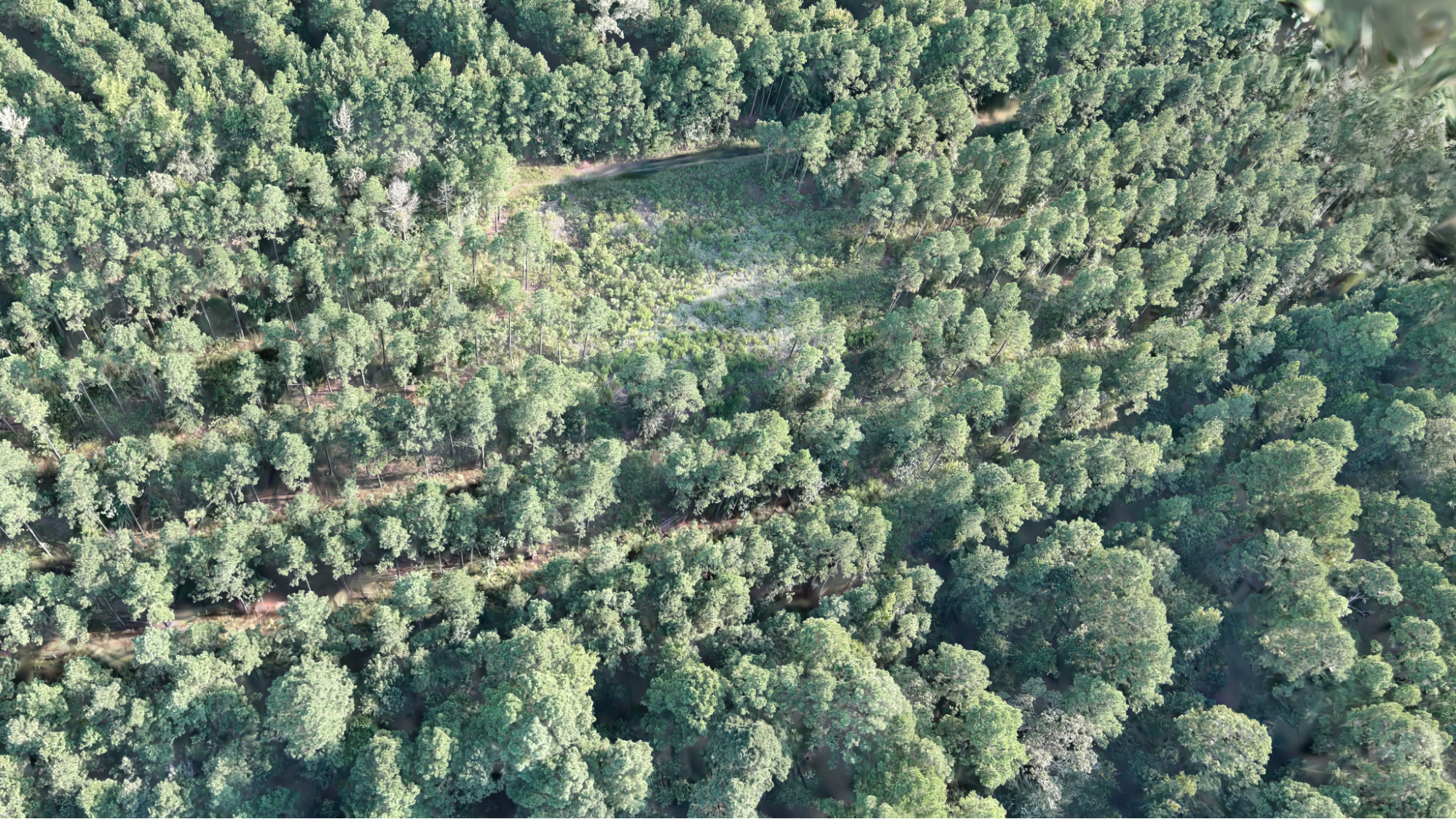
TreeDGS achieves 1.89 in RMSE on direct DBH measurements from standard drone imagery at 250 feet — 40% more accurate than airborne LiDAR.