Unlocking Southern Pine: Coolant's spatial AI models outperform airborne LiDAR on dBH measurements by 40%

Physical AI is one of the most powerful trends sweeping across the country's industrial and manufacturing sectors. Coolant is building spatial AI models for the physical and natural world.
For decades, remote sensing has failed to measure the most important metric in forestry: diameter at breast height (DBH).
This single, deceptively difficult measurement has long eluded airborne LiDAR, photogrammetry, satellite, and all the advancements that have swept through the forest and timber industries in the past decades.
Today, we're announcing a breakthrough.
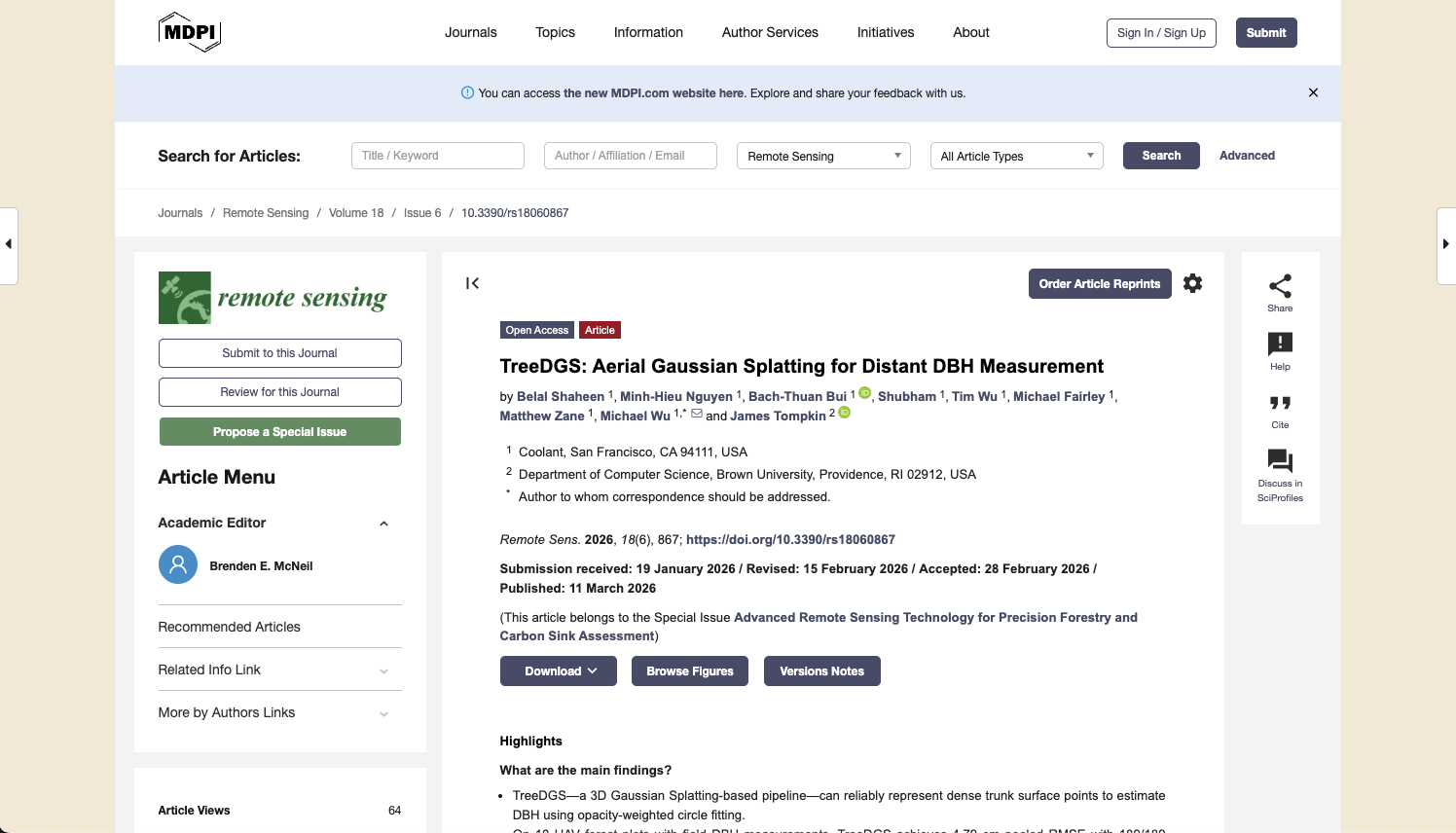
Our team has developed TreeDGS, a spatial AI system that achieves 1.89 inches / 4.79 cm RMSE on direct DBH measurements from standard aerial drone imagery captured at 250 feet above ground. Our models exhibit near-zero bias and outperform high-resolution airborne LiDAR measurements by 40% lower error rates. This work has been accepted and published to the peer-reviewed journal Remote Sensing and represents the first successful application of 3D Gaussian Splatting to aerial trunk measurement in forested conditions.
Why DBH Matters in Forestry
Diameter at breast height (DBH) is the forestry metric everything else is built on. It's the single most important measurement in a timber inventory because it's the most information-dense descriptor of a tree's size and growth stage — and because it plugs directly into the equations that turn “trees on the ground” into “decisions on a balance sheet.”
At the most fundamental level, DBH is the primary input to allometric equations used to estimate tree biomass. That flows straight into the numbers that matter in practice: timber volume, stand density, growth and yield forecasts, carbon stock estimates, and long-term management plans. If you're building an inventory, writing a silvicultural prescription, or reporting carbon, DBH sits at the top of the dependency chain along with tree height.
In timber, DBH is also the backbone of valuation. It drives board-foot calculations, helps predict what product classes will come off a tract, and influences expected grades at the mill. A few inches at the tree level can be the difference between a stem that merchandises into higher-value logs and one that doesn't. DBH impacts harvest timing, thinning decisions, pricing, and ultimately the return profile of a stand.
And critically: errors don't stay small. Inventory is aggregation. When DBH is wrong for individual trees, those errors compound across hundreds of trees, then thousands, then entire stands and tracts. Small bias or noisy measurement becomes real uncertainty at the stand level where foresters and asset managers make calls.
Today's field-based DBH workflows are the best the industry has had, but they're still constrained. Measuring every tree is expensive, so most programs rely on statistical sampling: crews measure plots, then models extrapolate across the rest of the acreage. That works when stands are uniform. But forests rarely are. Heterogeneity is the norm — variation in age class, stocking, species mix, site quality, storm damage, thinning history, and microsite conditions. The moment variability creeps in, sampling error creeps in with it. You can't confidently manage what you can't see, and you can't see variation if you're forced to infer it from a small fraction of the landscape.
The Promise of Aerial Data, The Failure of Aerial DBH
That sampling gap is exactly why aerial data has looked so promising for so long. If you can fly a tract quickly and cheaply, you can move from plots to wall-to-wall coverage and actually see variability across stocking, site quality, thinning response, and damage without guessing.
But DBH has been the stubborn exception.
From 200–250 feet up, a typical southern pine trunk at breast height spans ~15 pixels or less in image width — roughly the thickness of a pencil eraser on your screen. The geometric signal you need is tiny, and it's buried in motion blur, compression, lighting changes, and clutter.
It's also in the worst possible place: below the canopy. Even in managed forests, trunks at 1.3 meters are routinely occluded by crowns, branches, vines, and understory vegetation. So instead of clean, repeatable views, you get brief glimpses through narrow “windows” that appear and disappear across camera angles. Even with heavy overlap, most frames simply don't contain an unobstructed view of the stem where DBH is measured.
This “killer combination” of low resolution on the target plus intermittent visibility breaks conventional 3D approaches. Photogrammetry needs stable, repeatable features across views; with thin, partially occluded stems, reconstructions typically fail. Aerial LiDAR is an improvement, but even ultra-high resolution scans don't produce enough trunk returns at breast height to measure DBH reliably.
TreeDGS
TreeDGS is an advanced, geometric deep learning model that utilizes novel 3D spatial reasoning via Gaussian primitives to measure trunk dBH from aerial images. Our models have been battle-tested in real world pine stands across southeast Arkansas and have achieved strong results in post-thinned managed pine stands. We achieve:
- 1.89 in (4.79 cm) RMSE against field tape measurements
- 39.4% more accuracy than ultra-high resolution airborne LiDAR scans using state-of-the-art measurement techniques
- Near-zero systematic bias
Critically, TreeDGS requires no on-the-ground calibration to deploy. It runs on standard RGB drone imagery as its sole input. No LiDAR sensor is required.
These results matter for three reasons:
- Cost. LiDAR-equipped drones run $50,000 to $150,000 or more. A capable RGB drone costs a fraction of that.
- Speed. RGB capture is fast. A drone can cover more ground per flight, and the imagery is simpler to collect and manage. Faster capture means more acres inventoried per dollar spent.
- Accuracy. Coolant's spatial AI models are 40% more accurate than the ultra-high resolution airborne LiDAR scans and produce comparable accuracy to field plots.
Wall-to-wall inventory is now not only practical, but with Coolant's TreeDGS, in many cases cheaper and more accurate than field plots.
TreeDGS has been published by the industry leading Remote Sensing and passed rigorous scientific peer-review. This is the first step in bringing this technology from research to operational deployment across southern pine timberlands.
Read the full paper in Remote Sensing
If you're managing timberland or sourcing stumpage and want to see what spatial AI can do for your inventory programs, reach out to our team at Coolant.